


16.03.2015
Award for map of Tatra Mountains glaciation
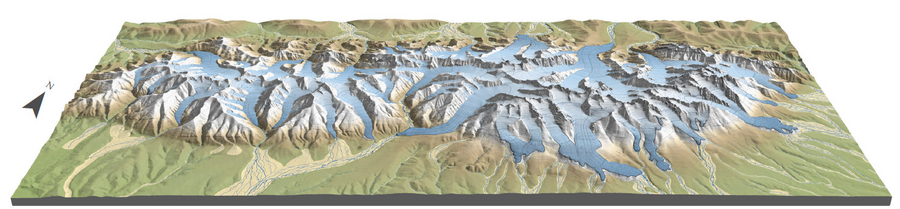
Map of Tatra Mountains glaciation
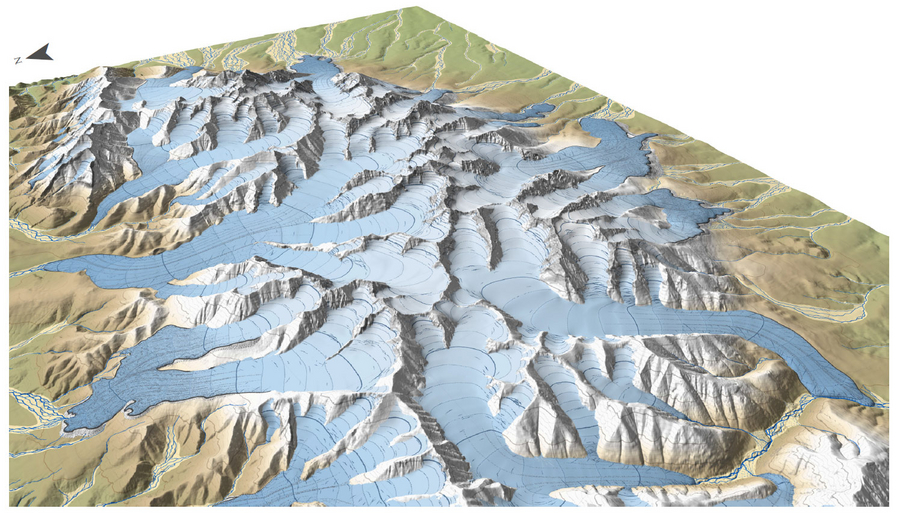
Map of Tatra Mountains glaciation
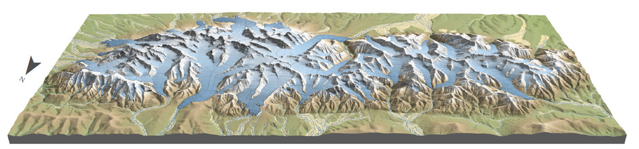
Map of Tatra Mountains glaciation
A study entitled “The Tatra Mountains during the Last Glacial Maximum” developed by Jerzy Zasadni, DSc, of the AGH UST Faculty of Geology, Geophysics and Environmental Protection, and Piotr Kłapyta, PhD, of the Jagiellonian University, has been decided the best map published by the “Journal of Maps” in 2014.
The “Journal of Maps” is the only magazine of this type on the market, which publishes maps showing the results of research from different fields of science in the electronic form. Every year, the jury evaluates nearly 60–70 studies. In this year’s edition of the competition, the best of the eleven maps qualified for the final was decided the map of the Tatra Mountains developed by the Polish scientists. In the justification, it was emphasised that the map – developed in an excellent cartographic convention – integrates the results of field studies and remote sensing analysis.
- Map of Tatra Mountains glaciation 1:50,000 (.pdf file, 18.2 MB)
- Reconstructed glaciers can also be seen in Google Earth (downloadable file)
The map shows the topography of the Tatra Mountains during the last glacial period, over 20 thousand years ago, when the Tatra glaciers reached a maximum coverage. It is worth emphasising that it is the first study of this type, in which a spatial picture of glaciers is presented in the whole area of the Tatra Mountains. The map was developed entirely in the 3D environment and on the basis of digital elevation models. The reach and geometry of glaciers shown on the map reflect the forms of the land relief: moraines and glacial trimlines. The details seen on the surface of glaciers show their probable topography in relations to glaciological properties and in comparison to contemporary glaciers.
Thanks to a convention related to a topographic map, the study is an excellent tool that can be used for the popularisation of knowledge about climatic changes and the transformations of the natural environment among a wide range of receivers, as well as for the promotion of the beauty of Poland and the region.
Jerzy Zasadni, DSc and Andrzej Świąder, MSc, of AGH UST, have also developed a computer animation of a flight above the iced Tatra Mountains on the basis of data and information presented in the distinguished map.
The article: “The Tatra Mountains during the Last Glacial Maximum”
All rights reserved © 2021 AGH University of Science and Technology